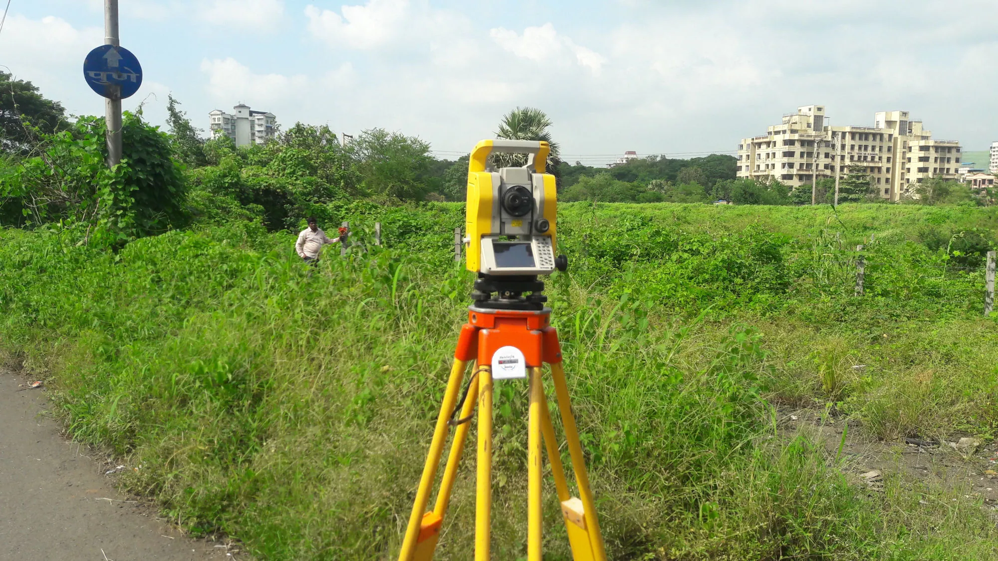
What to know everything about Survey Mark and what the use of it? Details below.
Survey Record is very important to find out the identity of any individual’s land. Each land is assigned a survey number. A separate department has been created in the revenue department to manage the survey its called Mojini or Survey Department.
The survey work is done by the government itself. If there is a dispute regarding the ownership of the lands, the solution will be found through the survey itself. Survey existed in India since the British era.
Survey means finding out the measurements of the property. It is a process of measuring the properties by survey and marking the boundaries and recording them in the government records.
Survey number means an identification number assigned to a piece of land. Area of the land, assessment and other matters related to the land are recorded in that survey number land record.
Survey number or Hissa number means that part of the survey number. Its measurement is also recorded separately.
The process of giving another number as part of the survey number is called HA survey mark is a mark used to determine the extent of a piece of land. Usually a stone is used as a survey mark. Survey was originally a revenue collection system introduced during the British rule.
Since pre-independence India, the types of land were identified and land revenue was fixed accordingly. Even after independence, the survey existed and the land was divided into Tari, Bagaitu, Khushki and the system of levying taxes according to the land is still in force.
Tari means irrigated land. Bagaitu means plantation land. Khushki means rain sheltered drought prone area. Generally Bagaitu lands are subject to higher revenue. Nowadays, due to urbanization, the value of all types of land is higher in cities.


